Autoscore
Automatically counts the score based on the shot *1
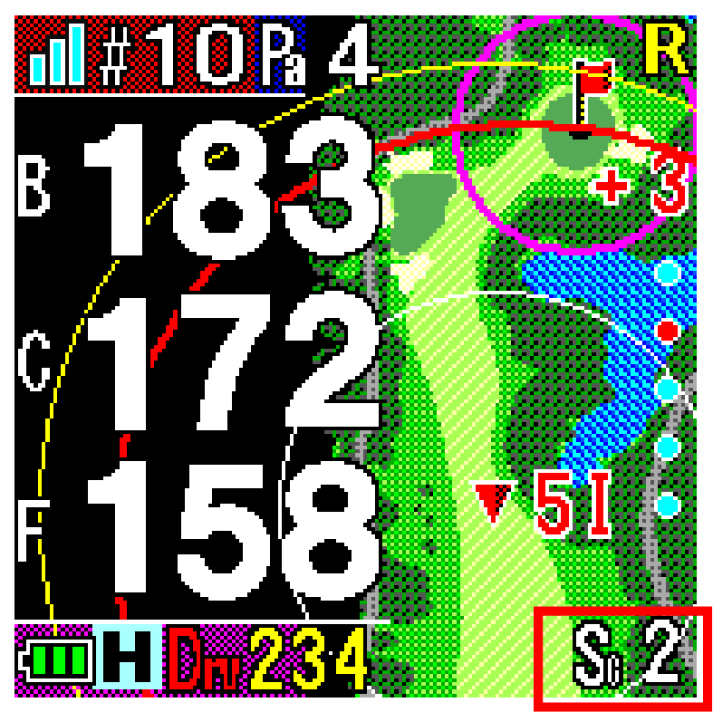 It automatically detects shots, records their locations (location registration), and
automatically displays the distance traveled without manual operation. It
also works with the scorecard, automatically counting up your score (except for putts).
Get the information you need in a timely manner
Scene-aware navigation
The Auto View Change function automatically displays the appropriate navigation screen depending on the situation during play .
Of course, you can also manually switch between the different screens depending on the playing situation.
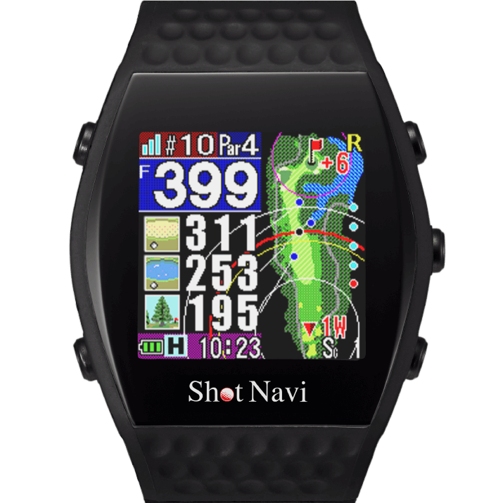
[Hazard View]
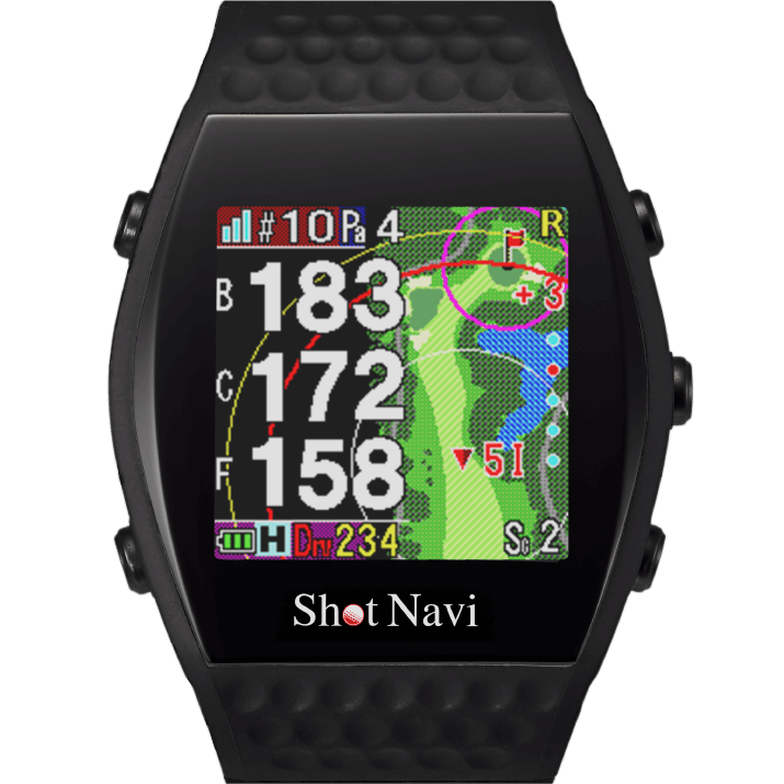
[Simple View]
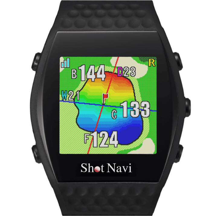
[Green View]
Auto View Change
Automatically displays the optimal navigation screen based on the remaining distance
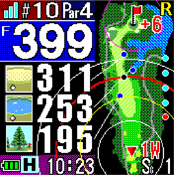
Near the tee ground
When teeing off, the entire course layout and distance to the front of the green, distance to various hazards, and distance to your preferred layup spot are displayed.
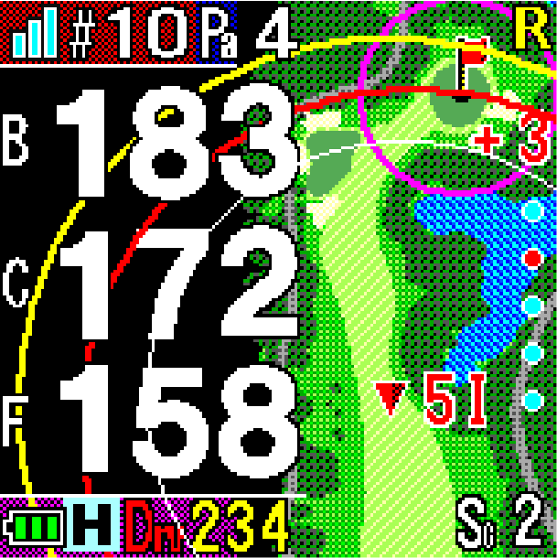
Near the second shot
When you are within a distance where you can aim directly at the green, such as on your second shot, the view automatically switches to Simple View,
showing the course layout and distances to the front, center, and back edges of the green.
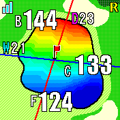
Around the green
For approach shots, the shape of the green, the distance from your current position to the front and back edges, and the width and length of the green are displayed.
Huge character view
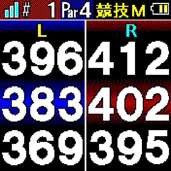
I simply want to know the distance in large letters!
[1 green]
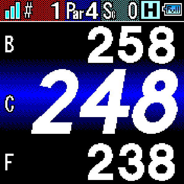
[When there are two greens]
Horizontal/reference distance
Switch between modes depending on your playing situation and preferences
The estimated distance required for the actual shot is automatically calculated and displayed, taking into account the elevation difference (uphill or downhill) in the measured straight-line distance.
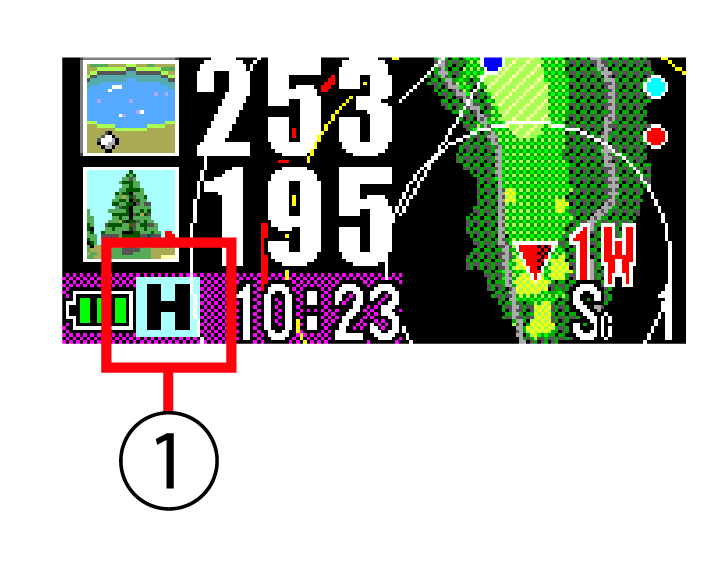
Horizontal/guideline icon
① Icons indicate whether the currently displayed distance is horizontal or an approximate distance.
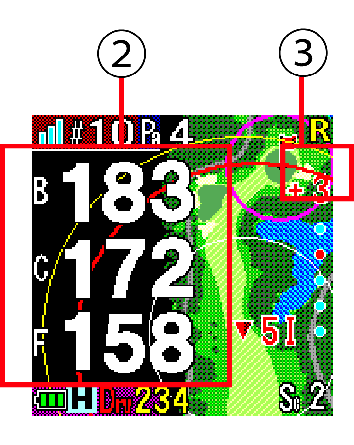
Horizontal distance display
② Horizontal distance to the green
[①H Horizontal distance (white text)]
③ Elevation difference between your current position and the center of the green
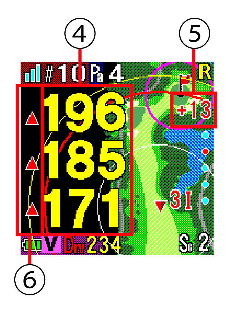
Estimated distance
④ Estimated distance to the green
[①H Estimated distance (yellow text)]
⑤ Difference in elevation between your current position and the center of the green
⑥ Display of uphill and downhill shots
Unique design with the latest technology
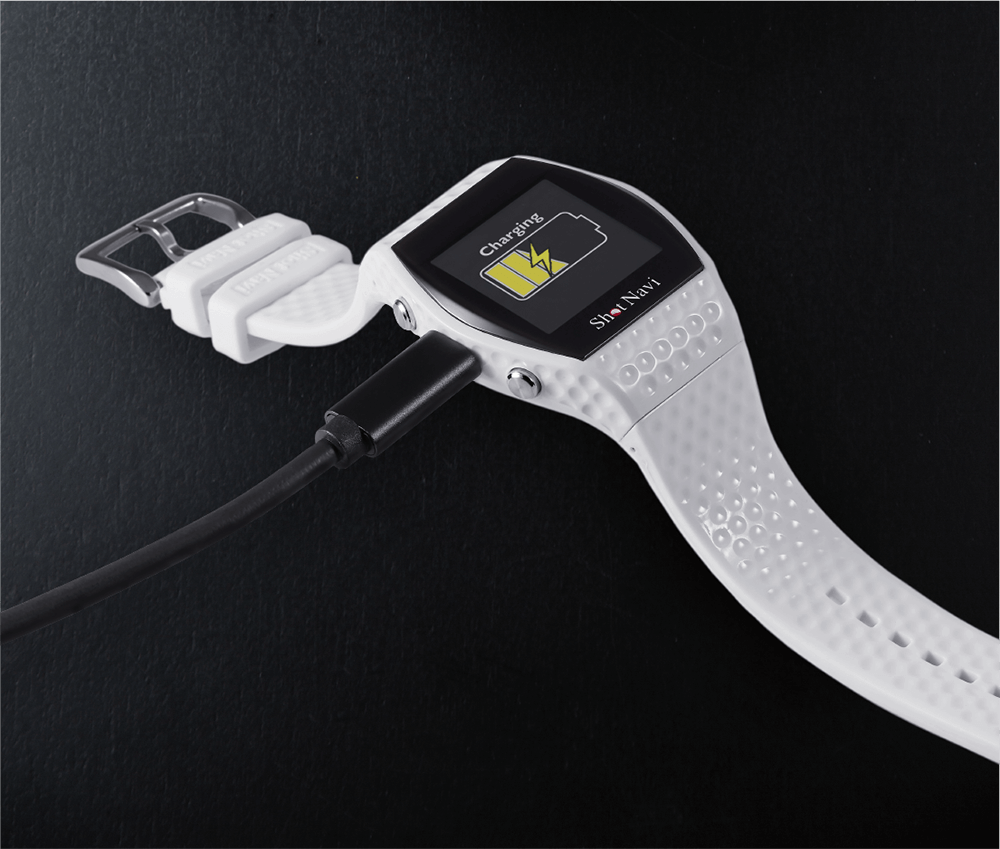
Charging is via USB Type-C
Shot Navi: First adoption in a wristwatch-type GPS navigation system
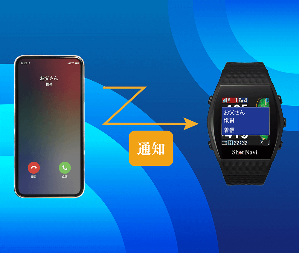
Convenient notification function
Notifies you of incoming calls and notifications from SNS on your smartphone
*This function is only compatible with iPhone 5S and later models.
*It can only be used when the Shot Navi app is installed and the iPhone is connected via Bluetooth.
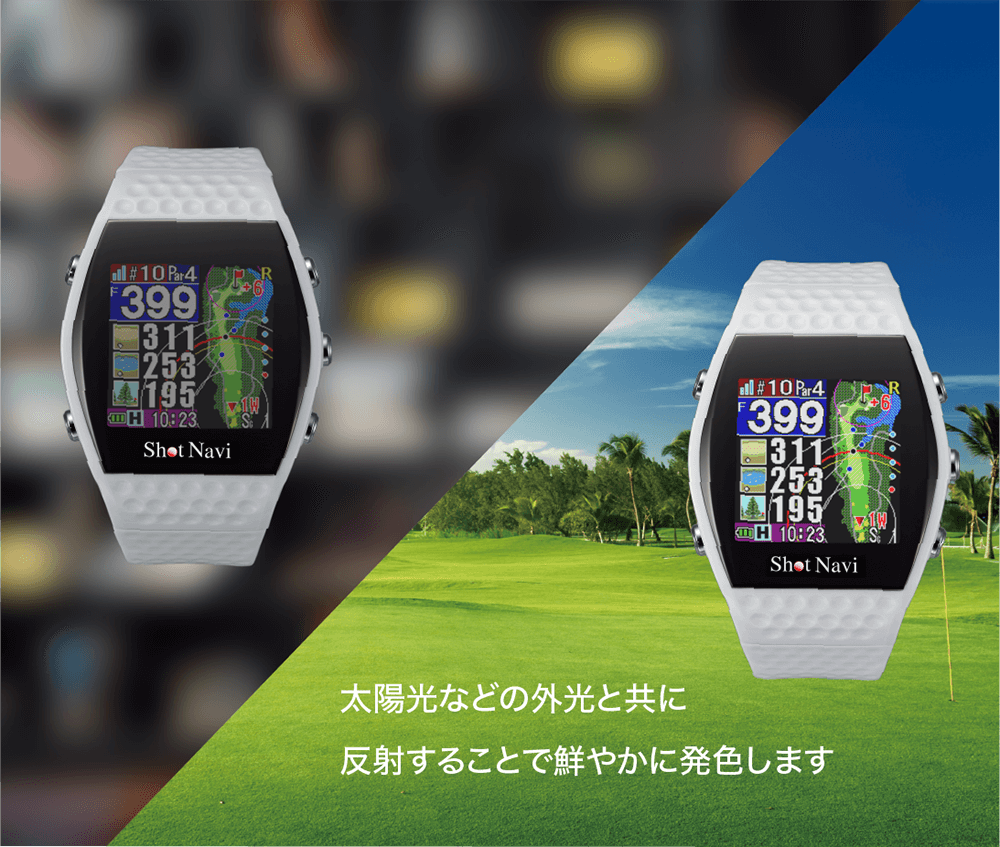
Emphasis on outdoor visibility
Uses a Memory In Pixel (MIP) color reflective LCD that provides clear viewing even in sunlight
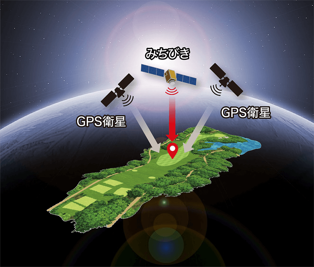
Compatible with Michibiki L1S
In addition to conventional GPS satellites, it is compatible with the “Michibiki” satellites and augmentation signals (L1S signals) that are always
stationed above Japan, making it possible to measure with an error of less than 1m.
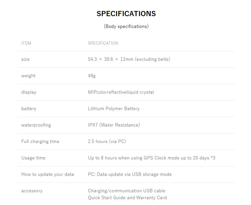
SPECIFICATIONS
(Main unit specifications)
| item | specification |
|---|
| size | 54.3 x 39.6 x 12mm (excluding belt) |
| weight | 48g |
| display | MIP color reflective LCD |
| battery | Lithium polymer battery |
| waterproof | IPX7 (Daily waterproof level) |
| Full charge time | 2.5 hours (via PC) |
| Usage time | GPS use: Up to 8 hours, Watch mode: Up to 20 days *3 |
| How to update data | PC: Data update via USB storage mode |
| accessories | USB charging/communication cable
Quick start guide and warranty card |




รีวิว
ยังไม่มีบทวิจารณ์